The Unspoken Cost of Inaccurate Spatial Data in Construction
- Richie Romero
- May 13
- 6 min read
The Unspoken Cost of Inaccurate Spatial Data in Construction
The first time you discover a spatial mistake on a construction project, it doesn’t look dramatic. It looks like a duct run that “should fit” but doesn’t—because a beam is two inches lower than the drawings said. Then the real cost hits: RFIs multiply, trades stack up, and the schedule starts slipping one “small fix” at a time. I’ve watched the same thing happen on film sets—one wrong measurement and suddenly you’re paying for overtime, resets, and reshoots. Construction just has bigger invoices.
TL;DR
Rework isn’t a rounding error: FMI has reported U.S. construction loses $177B annually to rework, with poor data/communication driving a major share of it.
The failure point is predictable: design models drift away from as-built reality, and clashes get discovered when they’re most expensive to fix.
Verge Visions’ 3D Digital Twin captures a spatially accurate, photorealistic replica (powered by Gaussian Splatting) so teams coordinate from the same ground truth.
If you’re relying on 2D plans for complex coordination, you’re not saving time—you’re borrowing it at interest.
Where inaccurate spatial data actually hurts: coordination, not “documentation”
In construction, spatial data isn’t a record—it’s a coordination engine. When that engine runs on stale measurements, the project doesn’t fail all at once. It fails in the seams: hanger locations, sleeve penetrations, headroom clearances, equipment access zones, and the quiet assumptions that never make it into a spec book.
That’s where most projects bleed. Not in the grand design—inside the handoffs.

What most traditional workflows get wrong is treating “as-builts” as a closeout artifact. By the time you’re documenting reality, you’ve already paid for the mismatch. Accurate spatial capture belongs upstream, before trades are forced to improvise.
For teams that need a shared, navigable ground truth—not another PDF set—an immersive model changes behavior. A spatially accurate twin makes conflicts visible early, when fixes are cheap and options are still open.
The money number everyone quotes—and the part they ignore
FMI has estimated that U.S. construction rework costs about $177 billion per year. Their research also ties a significant share of rework to poor data and communication—fuel for the most expensive sentence on any jobsite: “That’s not what the drawings show.” See FMI’s reporting here: FMI Trends & Insights.
Here’s the part teams ignore: rework isn’t just labor and materials. It’s trade stacking, change order friction, inspection resets, and lost float. Once the schedule loses rhythm, every downstream activity costs more.
McKinsey has also documented how digitization in construction can materially reduce cost and schedule risk—often cited in the 10–20% range depending on use case and maturity—by catching issues earlier and improving coordination. Reference: McKinsey on improving construction productivity.
Miss this, and you don’t just lose money—you lose predictability.
A real-world example: when “as-designed” and “as-built” diverge
On a film shoot, we used to say, “The camera finds the lie.” Construction has its own version: the install finds the lie. A model can look perfect until the moment a prefabricated run arrives and reality refuses to cooperate.
One widely shared example of the value of accurate as-built capture comes from aviation infrastructure work. Autodesk has published a customer story on Denver International Airport that describes using reality capture and BIM workflows to reduce rework and improve coordination. You can review the case story here: Autodesk customer story: Denver International Airport.
The lesson isn’t “airports are complicated.” The lesson is simpler: when the model is wrong, the field pays. And the field always pays at the worst possible time—when labor is mobilized and materials are already on site.
This is why immersive capture isn’t a nice-to-have for complex builds; it’s schedule insurance. A spatially accurate digital environment gives designers, builders, and owners a common reference that doesn’t depend on memory, markups, or wishful thinking.
Why 2D plans keep failing on 3D problems
2D drawings still matter, but they fail in predictable ways on complex projects: they flatten conditions that are inherently three-dimensional—sloped slabs, congested ceilings, irregular renovations, and “field-adjusted” elements that never got redlined accurately.
This isn’t a preference. It’s geometry.
What most legacy approaches get wrong is assuming the problem is “more detail.” It isn’t. The problem is verifiable spatial truth. You don’t need a thicker plan set—you need a reliable as-built reference that teams can interrogate from any angle.
That’s where a 3D Digital Twin earns its keep: a spatially accurate 3D replica of the real environment that supports coordination, documentation, and stakeholder alignment without forcing everyone back on site.
What accurate capture changes: fewer site visits, fewer surprises, faster decisions
Accurate spatial data works because it collapses “interpretation time.” Instead of debating whose measurement is right, teams validate conditions inside the model and move forward. That’s the mechanism: less ambiguity means fewer meetings, fewer RFIs, and fewer late-stage clashes.
For owner/operators and facilities leaders, the win extends beyond construction. A twin becomes a living asset: a reference for renovations, maintenance planning, compliance documentation, and emergency readiness. Verge Visions builds this into its delivery—see 3D Digital Twins & Immersive Simulation Training and the broader Digital Twin Projects portfolio.
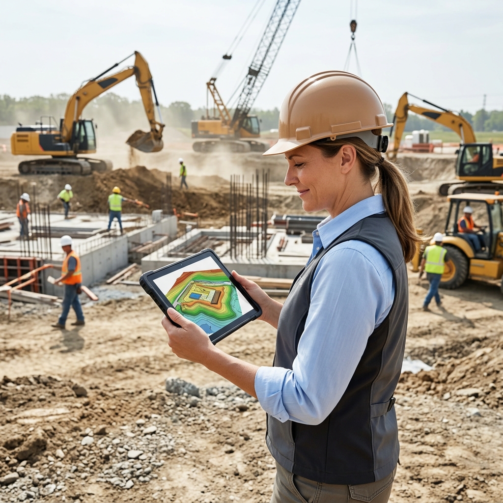
If you want a lighter-weight deliverable for stakeholder alignment and remote walkthroughs, a 3D Virtual Tour gives teams a photorealistic, navigable view that drops into websites, emails, and presentations—useful when you need buy-in fast.
And for exterior scope—site logistics, progress context, and surrounding infrastructure—Verge Visions’ 3D Drone Aerial Mapping adds the outside world to the same conversation.
An expert view: why spatial accuracy is the backbone, not the bonus
Construction visualization research consistently points to the same constraint: decisions are only as good as the spatial data behind them. Dr. Mani Golparvar-Fard (University of Illinois Urbana-Champaign), who focuses on construction visualization and sensing, puts it plainly in his work and teaching: when spatial data is accurate, teams coordinate; when it isn’t, they compensate with assumptions that turn into rework.
Expert quote: “Accurate spatial data is the backbone of efficient construction; without it, projects are prone to costly errors and inefficiencies.” Source: University of Illinois faculty profile.
The misunderstanding is thinking accuracy is only for engineers. In practice, accuracy is what keeps every downstream stakeholder honest—from the estimator to the installer to the owner signing off.
How to decide what to implement (and what to stop pretending works)
If you’re serious about reducing spatial-driven rework, the decision isn’t “scan or don’t scan.” It’s what you will trust as the source of truth when design meets field conditions.
If you’re coordinating multiple trades in tight spaces (MEP-heavy interiors, renovations, complex ceilings), prioritize a 3D Digital Twin so clashes surface before install.
If stakeholders need remote alignment fast (owners, leasing, approvals), deploy a 3D Virtual Tour to eliminate “I’ll understand it when I see it” delays.
If exterior context drives planning (campuses, schools, large sites), add 3D Drone Aerial Mapping to reduce site logistics surprises.
What happens when you choose wrong is predictable: the field improvises, documentation drifts, and your schedule becomes a negotiation instead of a plan.
If you want to see how Verge Visions approaches immersive capture across architecture and design workflows, start here: Architecture and Design | Verge Visions.
FAQ
What is the biggest cost of inaccurate spatial data in construction?
Rework is the headline cost, but the bigger damage is schedule unpredictability: trade stacking, change-order churn, and late clash discovery. FMI has estimated rework costs the U.S. construction industry about $177B annually, with poor data/communication contributing heavily.
How does construction 3D scanning improve spatial accuracy?
It captures the site as it actually exists—dimensions, clearances, and geometry—so teams coordinate from verifiable conditions instead of assumptions. In Verge Visions’ workflow, a 3D Digital Twin uses Gaussian Splatting to produce a photorealistic, spatially accurate model that supports coordination and downstream documentation.
Does BIM integration prevent clashes and change orders?
It prevents the expensive ones—the clashes discovered during install—by aligning design intent with as-built reality earlier. McKinsey has reported digitization can reduce cost and schedule risk (often cited at 10–20% depending on maturity and use case) by improving coordination and catching issues sooner.
Why use Verge Visions instead of a basic virtual tour?
A basic tour is visual. Verge Visions’ 3D Digital Twin is spatially accurate and built for decisions—coordination, documentation, and multi-team alignment—while still being photorealistic and immersive. When accuracy is the requirement, “good enough” becomes the problem.
Schedule certainty starts with spatial truth
Construction doesn’t get derailed by “big mistakes.” It gets derailed by small spatial lies that survive long enough to become expensive. If you’re choosing between trusting drawings or trusting reality, this is the difference that matters.
Explore more on the Verge Visions blog or review Verge Visions’ published digital twin thinking in Harnessing Efficiency Through Digital Twin Creation.
About the Author
Gabriel Thorne is a visual storyteller with a background in filmmaking and photography. At Verge Visions, he translates photorealistic capture, Gaussian Splatting, and digital twin workflows into practical narratives for builders, designers, and operators—so teams don’t just “see” a space, they make decisions they can trust.